SR-87; Climbing Lane North of Duchesne; Duchesne, UT
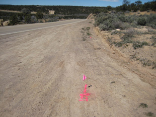
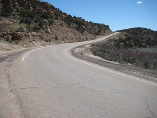
The SUE Solution’s team successfully completed the utility research, mapping, and inventory for this project which includes the addition of a climbing lane project located in near Duchesne, Utah for UDOT Region Three. The project limits began approximately 3,000 feet west of the 21000 West / SR-87 intersection and ended approximately 1,800 feet east of the 21000 West / SR-87 intersection. SUE activities included Quality Level B (horizontal designating) and Quality Level A (vertical test holes). As part of these activities, SUE Solutions also provided the survey and CAD activities for both the Quality Level ‘B’ and Quality Level ‘A’ activities. The utility designating services were completed in April of 2011. Approximately 8,000 feet of Level ‘B’ designated utilities were located, surveyed, and mapped throughout the project corridor, with six (6) test holes being performed at critical roadway design locations. Utility coordination efforts with existing utility owners, and local utility locating contractors also took place to account for those utilities that were not locatable by conventional means. This project was delivered ahead of schedule, in order to meet project deadlines. A comprehensive final SUE report was produced as a deliverable which contained utility (QL-B) mapping exhibits, photographic documentation (for QL-B utility designating and QL-A potholing efforts), survey data, and Utility Owners existing mapping.
«Previous Project | Next Project»